 Book
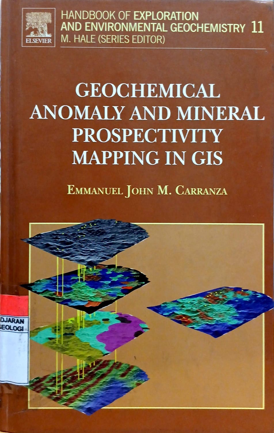
BookGeochemical anomaly and mineral prospectivity mapping in GIS
Emmanuel John M. Carranza
Unit: Fakultas Teknik Geologi (FTG)
Nowadays, mapping of geochemical anomalies and/or prospective areas involves stacking digital geochemical and geological maps on top of each other on an electronic light table (i.e., by using a GIS or geographic information system). This volume documents, surveys and demonstrates various GIS-aided and/or GIS-based techniques for mapping of geochemical anomalies and prospective areas in the target generation phase of mineral exploration. It consists of three parts, all centred on the theme predictive modeling or mapping.
📍 Rak Sirkulasi1 eksemplar public
Detail Metadata
AbstractThe objective of this book is to document, survey and demonstrate various GIS-aided and/or GIS-based techniques for mapping of geochemical anomalies and prospective areas during the target generation phase of mineral exploration. This volume consists of three parts, all centred on the theme predictive modeling or mapping and built upon particular notions and/or methods presented in the aforementioned textbooks and in various papers in exploration-related literature.
Call Number551.9 CAR g
Classification551.9
International Standard Book Number9780444513250
Language TypeEnglish
Published Year2009
Published PlaceUK
PublisherElsevier B. V.
Kode Koleksi COLLECTION-FTG-LIB-1782713626-00b763
Tipe Koleksi book
Eksemplar (1 item)
| No. | Lokasi | Ketersediaan | Kode Inventaris | Barcode | Tautan |
|---|---|---|---|---|---|
| 1 | Rak Sirkulasi | Tersedia | INV/FTG/Book/c50cdee7-de96-455a-ae35-e49604680d51/001 | 1782712835102e49604680d51001 | Buka Item |